
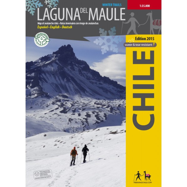
Trekking Map Laguna del Maule Winter Trails 1:35.000
€9,95
direct leverbaar!
- Zeer ruim assortiment
- Verzending 1-2 werkdagen
- Niet tevreden, geld terug
- Ruilen binnen 14 dagen
Titelinformatie
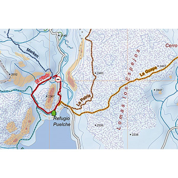
The first map ever with information on avalanche risks in South America! This ski and snowshoe map shows the area around the Laguna del Maule east of Talca and was developed by the Institute for Cartography at the Dresden Technical University. Using a special software which considers key factors as slope, land cover and prevailing wind directions, danger areas have been designated. The 10 snowshoe tours shown in the map are briefly described on the back, a QR code links to the detailed route description in the App Trekkingchile.
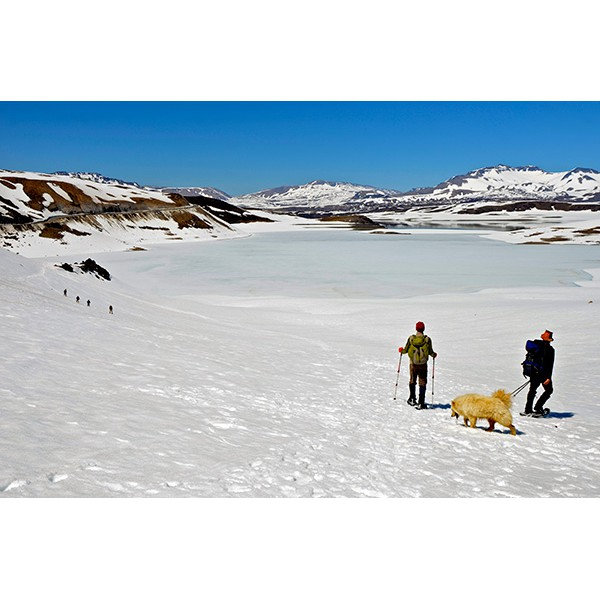
GPS compatible, with snow-hiking routes, level curves every 50 m, mountain huts, landscape pictures and drawings of the local fauna.
Trekkingchile, 1st edition 2015
Winter Map with avalanche risks, Central Chile, 1:35,000
Printed on tear- and water-resistant, environmentally friendly Stone Paper.
English - Spanish.
Titelspecificaties
| Regio | Chili |
|---|---|
| Uitgavedatum | 2015 |
| Taal | Engels |
| Uitgever | |
| Serie | |
| ISBN | 9789568925383 |
| Categorie | Wandelkaarten |
Andere categoriën in dezelfde regio


-
 ITM Santiago & Noord-Chili ITM Travel Reference MapFraaie, relatief gedetailleerde overzichtskaart. Veel kaarten uit deze serie hebben op de achterkantdirect leverbaar!€13,95 > alles van Zuid-Amerika (en Antarctica)
-
 Lonely Planet Chile & Rapa Nui (Easter Island)*Goede gidsen voor trekkers. Na info over land en volk, en reisvoorbereidingen volgen beschrijvingendirect leverbaar!€15,95 > alles van Zuid-Amerika (en Antarctica)
-
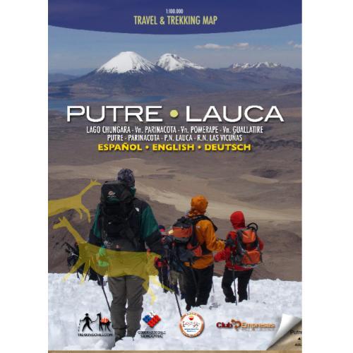 Trekking Map Putre-Lauca 1:100.000De eerste professionele kaart van het Andes-plateau in het uiterste noorden van Chili, rond Putre endirect leverbaar!€9,95 > alles van Zuid-Amerika (en Antarctica)
-
 ANWB Wereldreisgids ChiliDe Wereldreisgids Chili & Paaseiland is een complete en praktische reisgids voor jouw droomvakantiedirect leverbaar!€32,95 > alles van Zuid-Amerika (en Antarctica)
-
 Travels in a thin country'Notably well written, perceptive, lively and sympathetic. She catches the elusive character of Chilniet direct leverbaar€15,35 > alles van Zuid-Amerika (en Antarctica)
-
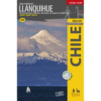 Trekking Map Llanquihue 1:150.000 / 1:50.000Complete and up-to-date map of the area around Llanquihue lake. Shows the Vicente Perez Rosales Natidirect leverbaar!€9,95 > alles van Zuid-Amerika (en Antarctica)
-
 ITM Easter Island (Paaseiland), Santiago | landkaart, autokaart 1:30.000Fraaie, relatief gedetailleerde overzichtskaart. Veel kaarten uit deze serie hebben op de achterkantdirect leverbaar!€13,95 > alles van Zuid-Amerika (en Antarctica)
-
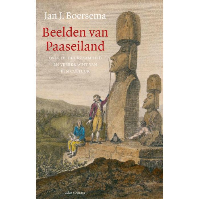 Beelden van Paaseiland | Jan J. BoersemaPaaseiland is het meest afgelegen bewoonde plekje op aarde. Hoe Polynesische kolonisten het tien eeudirect leverbaar!€24,95 > alles van Zuid-Amerika (en Antarctica)
-
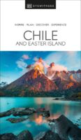 Chile & Easter Island Eyewitness Travel GuideEngelstalige Capitoolgids. Bijzonder fraaie en complete gidsen, waarin de illustraties de kern vormedirect leverbaar!€23,90 > alles van Zuid-Amerika (en Antarctica)
-
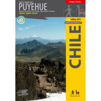 Trekking Map PuyehueThe first travel and trekking map of the National Park Puyehue in the Los Lagos region. Overview mapdirect leverbaar!€9,95 > alles van Zuid-Amerika (en Antarctica)
-
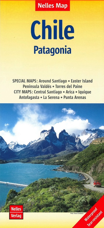 Chili | wegenkaart - overzichtskaart 1:2.500.000Deel uit een serie overzichts-/ wegenkaarten, met een mooie en betrouwbare cartografie. Scheur- en wdirect leverbaar!€11,50 > alles van Zuid-Amerika (en Antarctica)
-
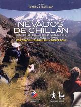 Trekking Map Nevados de Chillan 1:50.000Hiking map of the beautiful mountain area around Termas de Chillán and the Ñuble Preserve. With ledirect leverbaar!€9,95 > alles van Zuid-Amerika (en Antarctica)