
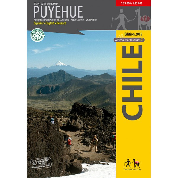
Trekking Map Puyehue
€9,95
direct leverbaar!
- Zeer ruim assortiment
- Verzending 1-2 werkdagen
- Niet tevreden, geld terug
- Ruilen binnen 14 dagen
Titelinformatie
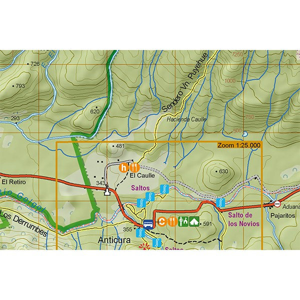
The first travel and trekking map of the National Park Puyehue in the Los Lagos region. Overview map 1:75,000 showing the whole park northeast of the Puyehue and Rupanco lakes, with the volcanoes Puyehue (2236 m) and Casablanca (1990 m). Detail maps 1:25,000 resp. 1:40,000 of the areas Anticura and Antillanca.
GPS compatible, with hiking routes, level curves every 50 m, mountain huts, lodgings and campsites. Landscape pictures and drawings of the local fauna. Map developed by the Institute for Cartography at the Dresden Technical University.
Trekkingchile, 1st edition 2015
Travel & Trekking Map, Southern Chile, scale 1:75,000 / 1:25,000
English - Spanish - German.
Titelspecificaties
| Regio | Chili |
|---|---|
| Uitgavedatum | 2015 |
| Taal | Engels |
| Uitgever | |
| Serie | |
| ISBN | 9789568925291 |
| Categorie | Wandelkaarten |
Andere categoriën in dezelfde regio


Van dezelfde regio verkrijgbaar
-
 Trekking Map Cochamó - Puelo 1:75.000 / 1:25.000First travel map of the valleys Cochamó, Manso and Puelo, an area known for the climing area at Ladirect leverbaar!€9,95 > alles van Zuid-Amerika (en Antarctica)
-
 Trekking Map Nevados de Chillan 1:50.000Hiking map of the beautiful mountain area around Termas de Chillán and the Ñuble Preserve. With ledirect leverbaar!€9,95 > alles van Zuid-Amerika (en Antarctica)
-
 Trekking Map Costa del Maule 1:180.000 / 1:15.000The first detailed map of the manifold Maule region's coastline, from Duao to Tregualemu. 1 overviewdirect leverbaar!€9,95 > alles van Zuid-Amerika (en Antarctica)
-
 Trekking Map Altos de Teno 1:150.000 / 1:50.000The first map of the Andes east of San Fernando and Curicó. Overview map 1:150,000 of the area betwdirect leverbaar!€9,95 > alles van Zuid-Amerika (en Antarctica)
-
 Trekking Map La Campana 1:30.000The first hiking map of National Park La Campana, in the Coastal Cordillera between Santiago and Vi�direct leverbaar!€9,95 > alles van Zuid-Amerika (en Antarctica)
-
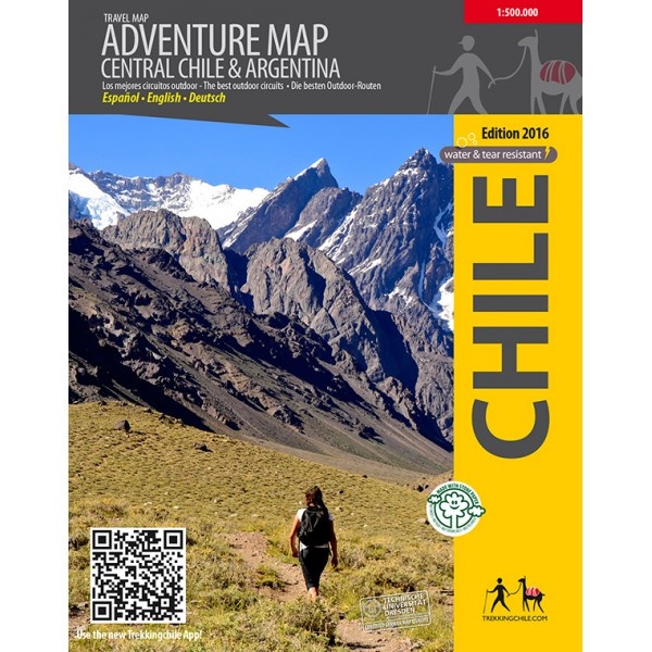 Adventure map Central Chile & Argentina 1:500.000Professioneel gemaakte kaart, met ondersteuning van de Technische Universiteit Dresden (Kartographisdirect leverbaar!€19,95 > alles van Zuid-Amerika (en Antarctica)
-
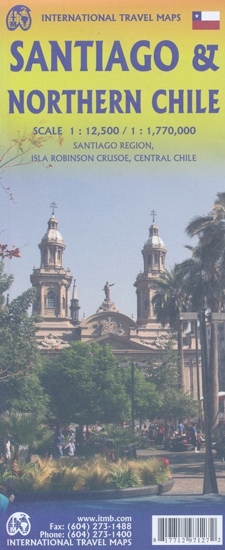 ITM Santiago & Noord-Chili ITM Travel Reference MapFraaie, relatief gedetailleerde overzichtskaart. Veel kaarten uit deze serie hebben op de achterkantdirect leverbaar!€13,95 > alles van Zuid-Amerika (en Antarctica)
-
 Trekking Map Cajón del Maipo 1:100.000 / 1:50.000Map of the upper Maipotal, southeast of Santiago, in cooperation with the German Andean Association.direct leverbaar!€9,95 > alles van Zuid-Amerika (en Antarctica)
-
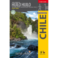 Trekking Map Huilo HuiloCompletely updated map of the nature preserve Huilo Huilo in the Los Rios region. Overview map 1:75,direct leverbaar!€9,95 > alles van Zuid-Amerika (en Antarctica)
-
 ANWB Wereldreisgids ChiliDe Wereldreisgids Chili & Paaseiland is een complete en praktische reisgids voor jouw droomvakantiedirect leverbaar!€32,95 > alles van Zuid-Amerika (en Antarctica)
-
 reisgids Chili | Chile |The Carretera Austral (Bradt)No nonsense gids (Engelstalig) voor de doe het zelf reiziger! Goede achtergrondinformatie, veel aandniet direct leverbaar€28,95 > alles van Zuid-Amerika (en Antarctica)
-
 Trekking Map Llanquihue 1:150.000 / 1:50.000Complete and up-to-date map of the area around Llanquihue lake. Shows the Vicente Perez Rosales Natidirect leverbaar!€9,95 > alles van Zuid-Amerika (en Antarctica)