
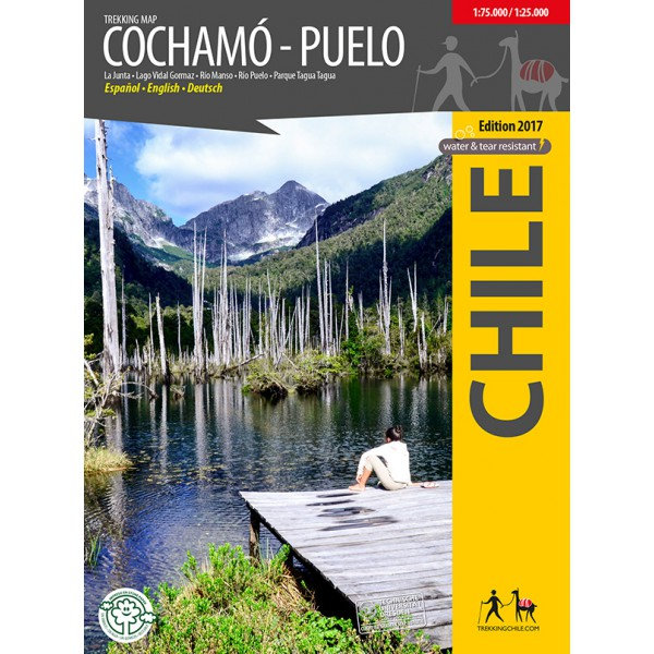
Trekking Map Cochamó - Puelo 1:75.000 / 1:25.000
€9,95
direct leverbaar!
- Zeer ruim assortiment
- Verzending 1-2 werkdagen
- Niet tevreden, geld terug
- Ruilen binnen 14 dagen
Titelinformatie
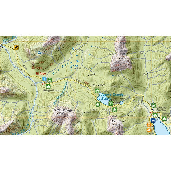
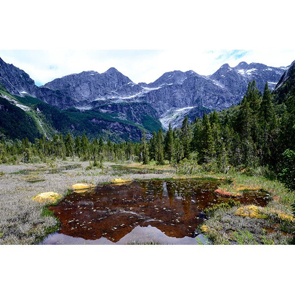
First travel map of the valleys Cochamó, Manso and Puelo, an area known for the climing area at La Junta, wild water rivers and the private nature park Tagua Tagua. General map at scale 1:75,000, with altitude levels each 50 m, hiking trails (distances in km and hours), lodgings, huts, camps etc.
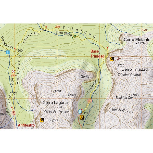
Detail map 1:25,000 of La Junta with climbing and hiking routes and tourist services
Detail map 1:25,000 of Parque Tagua Tagua with hiking trails (km and hours), huts and attractions.
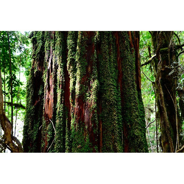
Landscape pictures and drawings of the local fauna. GPS compatible. Map developed with the support of the Institute for Cartography at the Dresden Technical University.
Trekkingchile, 1st edition 2017
Travel & Trekking Map, Southern Chile / Patagonia, scale 1:75,000 / 1:25,000
Printed on tear- and water-resistant, environmentally friendly Stone Paper.
English - German - Spanish.
Titelspecificaties
| Regio | Chili |
|---|---|
| Uitgavedatum | 2017 |
| Taal | Engels |
| Uitgever | |
| Serie | |
| ISBN | 9789568925413 |
| Categorie | Wandelkaarten |
Andere categoriën in dezelfde regio


-
 Chile Culture Smart!De Culture Smart serie is een reeks handzame boekjes voor zowel toeristen als andere bezoekers met ddirect leverbaar!€12,90 > alles van Zuid-Amerika (en Antarctica)
-
 Travels in a thin country'Notably well written, perceptive, lively and sympathetic. She catches the elusive character of Chilniet direct leverbaar€15,35 > alles van Zuid-Amerika (en Antarctica)
-
 Trekking Map Putre-Lauca 1:100.000De eerste professionele kaart van het Andes-plateau in het uiterste noorden van Chili, rond Putre endirect leverbaar!€9,95 > alles van Zuid-Amerika (en Antarctica)
-
 Antuco walking map | wandelkaart 1:30.000Antuco - Laguna del Laja National Park - Volcán Antuco - Sierra Velluda area at 1:30,000 in a seriedirect leverbaar!€9,95 > alles van Zuid-Amerika (en Antarctica)
-
 Trekking Map Condor Circuit 1:50 000 / 1:25.000Completely revised map of the naturally beautiful and pristine territory between the natural preservdirect leverbaar!€9,95 > alles van Zuid-Amerika (en Antarctica)
-
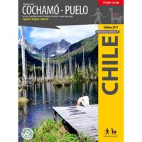 Trekking Map Cochamó - Puelo 1:75.000 / 1:25.000First travel map of the valleys Cochamó, Manso and Puelo, an area known for the climing area at Ladirect leverbaar!€9,95 > alles van Zuid-Amerika (en Antarctica)
-
 Chili landkaart, wegenkaart 1:1.600.000Uitstekende tweezijdig bedrukte wegenkaart / overzichtskaart. Verschenen in de serie van het 'Worlddirect leverbaar!€11,95 > alles van Zuid-Amerika (en Antarctica)
-
 Trekking Map Costa del Maule 1:180.000 / 1:15.000The first detailed map of the manifold Maule region's coastline, from Duao to Tregualemu. 1 overviewdirect leverbaar!€9,95 > alles van Zuid-Amerika (en Antarctica)
-
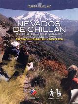 Trekking Map Nevados de Chillan 1:50.000Hiking map of the beautiful mountain area around Termas de Chillán and the Ñuble Preserve. With ledirect leverbaar!€9,95 > alles van Zuid-Amerika (en Antarctica)
-
 Alrededor de Santiago (Around Santiago) 1:50.000 / 1:25.000The first map showing 70 hiking, 9 climbing and 7 biking routes in the immediate vicinity of Santiagdirect leverbaar!€9,95 > alles van Zuid-Amerika (en Antarctica)
-
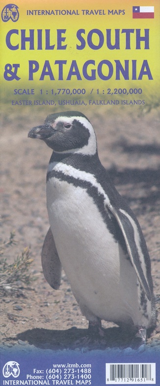 ITM Zuid-Chili en Patagonie | landkaart, autokaart 1:2.200.000 / 750.000Fraaie, relatief gedetailleerde overzichtskaart. Veel kaarten uit deze serie hebben op de achterkantniet direct leverbaar€13,95 > alles van Zuid-Amerika (en Antarctica)
-
 Trekking Map Altos de Teno 1:150.000 / 1:50.000The first map of the Andes east of San Fernando and Curicó. Overview map 1:150,000 of the area betwdirect leverbaar!€9,95 > alles van Zuid-Amerika (en Antarctica)