
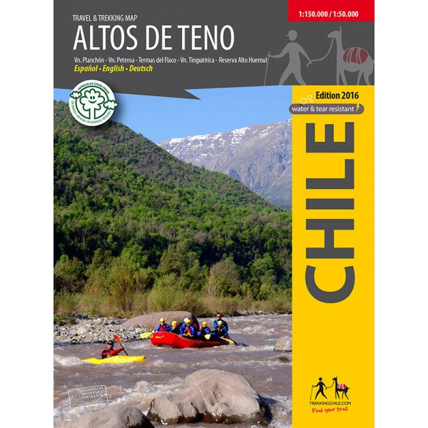
Trekking Map Altos de Teno 1:150.000 / 1:50.000
€9,95
direct leverbaar!
- Zeer ruim assortiment
- Verzending 1-2 werkdagen
- Niet tevreden, geld terug
- Ruilen binnen 14 dagen
Titelinformatie
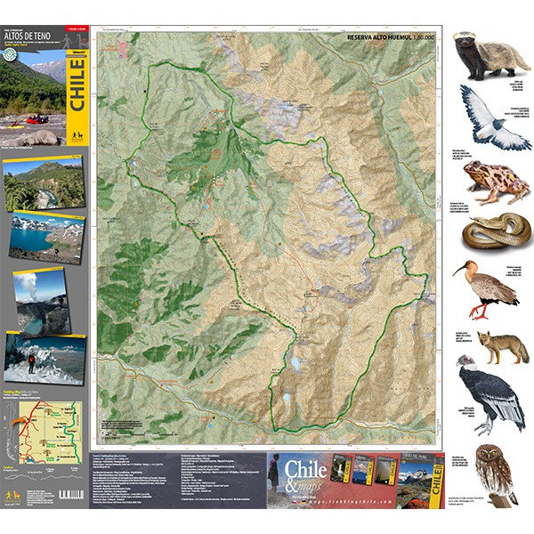
The first map of the Andes east of San Fernando and Curicó. Overview map 1:150,000 of the area between the volcanoes Tinguiririca (4280 m) and Planchón - Peteroa - Azufre (4113 m), including Volcán Planchón (3985 m), Cerro Alto del Padre (3349 m) and the private nature preserve Alto Huemul. Two detail maps 1:50,000: Reserva Alto Huemul and Planchón - Peteroa. GPS compatible, with hiking routes, level curves every 50 m, mountain huts, lodgings and campsites. Landscape pictures and drawings of the local fauna. Map developed by the Institute for Cartography at the Dresden Technical University.
Trekkingchile, 1st edition 2017
Trekking Map, Central Chile, scale 1:150,000 / 1:50,000
Printed on tear- and water-resistant, environmentally friendly Stone Paper.
English - German - Spanish.
Titelspecificaties
| Regio | Chili |
|---|---|
| Uitgavedatum | 2017 |
| Taal | Engels |
| Uitgever | |
| Serie | |
| ISBN | 9789568925307 |
| Categorie | Wandelkaarten |
Andere categoriën in dezelfde regio


-
 Trekking Map Río Los Cipreses 1:100.000 / 1:25.000Hiking map of the National Preserve Rio Los Cipreses east of Rancagua, in Central Chile. Overview madirect leverbaar!€9,95 > alles van Zuid-Amerika (en Antarctica)
-
 Trekking Map Cochamó - Puelo 1:75.000 / 1:25.000First travel map of the valleys Cochamó, Manso and Puelo, an area known for the climing area at Ladirect leverbaar!€9,95 > alles van Zuid-Amerika (en Antarctica)
-
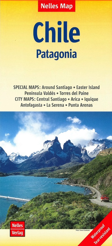 Chili | wegenkaart - overzichtskaart 1:2.500.000Deel uit een serie overzichts-/ wegenkaarten, met een mooie en betrouwbare cartografie. Scheur- en wdirect leverbaar!€11,50 > alles van Zuid-Amerika (en Antarctica)
-
 Chile Culture Smart!De Culture Smart serie is een reeks handzame boekjes voor zowel toeristen als andere bezoekers met ddirect leverbaar!€12,90 > alles van Zuid-Amerika (en Antarctica)
-
 Insight Guide Chile (Chili)"Insight Guide Chile & Easter Island" is a comprehensive full-colour guide to the culture, history adirect leverbaar!€24,95 > alles van Zuid-Amerika (en Antarctica)
-
 Lonely Planet Chile & Rapa Nui (Easter Island)Goede gidsen voor trekkers. Na info over land en volk, en reisvoorbereidingen volgen beschrijvingendirect leverbaar!€28,95 > alles van Zuid-Amerika (en Antarctica)
-
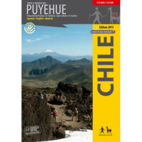 Trekking Map PuyehueThe first travel and trekking map of the National Park Puyehue in the Los Lagos region. Overview mapdirect leverbaar!€9,95 > alles van Zuid-Amerika (en Antarctica)
-
 Trekking Map Cajón del Maipo 1:100.000 / 1:50.000Map of the upper Maipotal, southeast of Santiago, in cooperation with the German Andean Association.direct leverbaar!€9,95 > alles van Zuid-Amerika (en Antarctica)
-
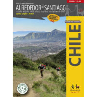 Alrededor de Santiago (Around Santiago) 1:50.000 / 1:25.000The first map showing 70 hiking, 9 climbing and 7 biking routes in the immediate vicinity of Santiagdirect leverbaar!€9,95 > alles van Zuid-Amerika (en Antarctica)
-
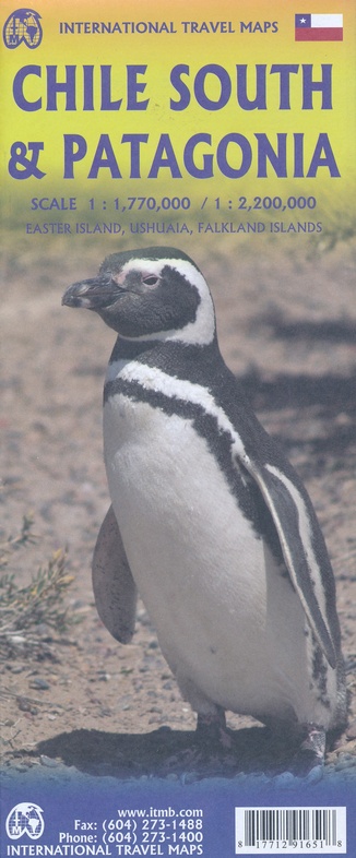 ITM Zuid-Chili en Patagonie | landkaart, autokaart 1:2.200.000 / 750.000Fraaie, relatief gedetailleerde overzichtskaart. Veel kaarten uit deze serie hebben op de achterkantniet direct leverbaar€13,95 > alles van Zuid-Amerika (en Antarctica)
-
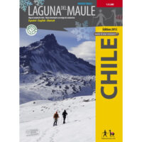 Trekking Map Laguna del Maule Winter Trails 1:35.000The first map ever with information on avalanche risks in South America! This ski and snowshoe map sdirect leverbaar!€9,95 > alles van Zuid-Amerika (en Antarctica)
-
 Chili | autokaart, wegenkaart 1:1.200.000Met plaatsnamenregister. Heldere cartografie. Dubbelzijdig bedrukt.direct leverbaar!€15,95 > alles van Zuid-Amerika (en Antarctica)