
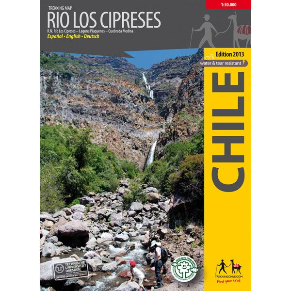
Trekking Map Río Los Cipreses 1:100.000 / 1:25.000
€9,95
direct leverbaar!
- Zeer ruim assortiment
- Verzending 1-2 werkdagen
- Niet tevreden, geld terug
- Ruilen binnen 14 dagen
Titelinformatie
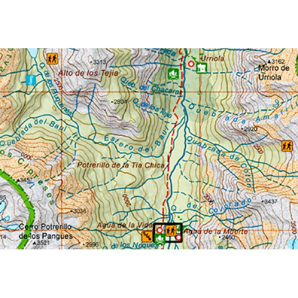
Hiking map of the National Preserve Rio Los Cipreses east of Rancagua, in Central Chile. Overview map 1:100,000 showing the whole preserve with the Laguna Piuquenes and several 4,000 meter summits, being El Palomo volcano the highest with 4860 m. Detail map 1:25,000 of the preserve's entrance area.
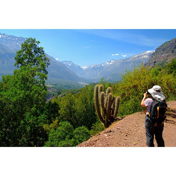
GPS compatible, with hiking routes, level curves every 50 m, mountain huts, lodgings and campsites. Landscape pictures and drawings of the local fauna. Map developed by the Institute for Cartography at the Dresden Technical University.
Trekkingchile, 1st edition 2014
Trekking Map, Central Chile, scale 1:100,000 / 1:25,000
Printed on tear- and water-resistant, environmentally friendly Stone Paper.
English - German - Spanish.
Titelspecificaties
| Regio | Chili |
|---|---|
| Uitgavedatum | 2014 |
| Taal | Engels |
| Uitgever | |
| Serie | |
| ISBN | 9789568925260 |
| Categorie | Wandelkaarten |
Andere categoriën in dezelfde regio


-
 Trekking Map Nevados de Chillan 1:50.000Hiking map of the beautiful mountain area around Termas de Chillán and the Ñuble Preserve. With ledirect leverbaar!€9,95 > alles van Zuid-Amerika (en Antarctica)
-
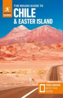 Rough Guide Chile & Easter Island (Chili en Paaseiland)Ontdek dit schitterende, veelzijdige Zuid-Amerikaanse land met deze levendige, uitgebreide gids. Ofniet direct leverbaar€24,95 > alles van Zuid-Amerika (en Antarctica)
-
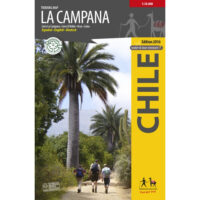 Trekking Map La Campana 1:30.000The first hiking map of National Park La Campana, in the Coastal Cordillera between Santiago and Vi�direct leverbaar!€9,95 > alles van Zuid-Amerika (en Antarctica)
-
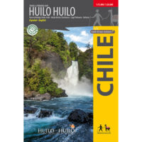 Trekking Map Huilo HuiloCompletely updated map of the nature preserve Huilo Huilo in the Los Rios region. Overview map 1:75,direct leverbaar!€9,95 > alles van Zuid-Amerika (en Antarctica)
-
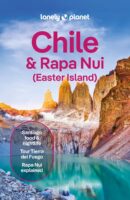 Lonely Planet Chile & Rapa Nui (Easter Island)Goede gidsen voor trekkers. Na info over land en volk, en reisvoorbereidingen volgen beschrijvingendirect leverbaar!€28,95 > alles van Zuid-Amerika (en Antarctica)
-
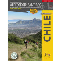 Alrededor de Santiago (Around Santiago) 1:50.000 / 1:25.000The first map showing 70 hiking, 9 climbing and 7 biking routes in the immediate vicinity of Santiagdirect leverbaar!€9,95 > alles van Zuid-Amerika (en Antarctica)
-
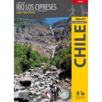 Trekking Map Río Los Cipreses 1:100.000 / 1:25.000Hiking map of the National Preserve Rio Los Cipreses east of Rancagua, in Central Chile. Overview madirect leverbaar!€9,95 > alles van Zuid-Amerika (en Antarctica)
-
 ANWB Wereldreisgids ChiliDe Wereldreisgids Chili & Paaseiland is een complete en praktische reisgids voor jouw droomvakantiedirect leverbaar!€32,95 > alles van Zuid-Amerika (en Antarctica)
-
 Travels in a thin country'Notably well written, perceptive, lively and sympathetic. She catches the elusive character of Chilniet direct leverbaar€15,35 > alles van Zuid-Amerika (en Antarctica)
-
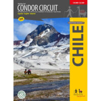 Trekking Map Condor Circuit 1:50 000 / 1:25.000Completely revised map of the naturally beautiful and pristine territory between the natural preservdirect leverbaar!€9,95 > alles van Zuid-Amerika (en Antarctica)
-
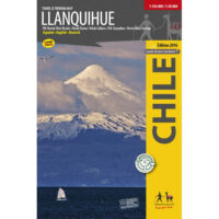 Trekking Map Llanquihue 1:150.000 / 1:50.000Complete and up-to-date map of the area around Llanquihue lake. Shows the Vicente Perez Rosales Natidirect leverbaar!€9,95 > alles van Zuid-Amerika (en Antarctica)
-
 reisgids Chili | Chile |The Carretera Austral (Bradt)No nonsense gids (Engelstalig) voor de doe het zelf reiziger! Goede achtergrondinformatie, veel aandniet direct leverbaar€28,95 > alles van Zuid-Amerika (en Antarctica)