
Trekking Map La Campana 1:30.000
€9,95
direct leverbaar!
- Zeer ruim assortiment
- Verzending 1-2 werkdagen
- Niet tevreden, geld terug
- Ruilen binnen 14 dagen
Titelinformatie
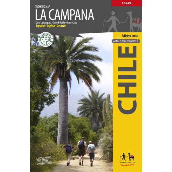
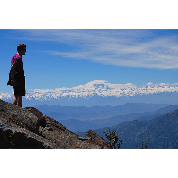
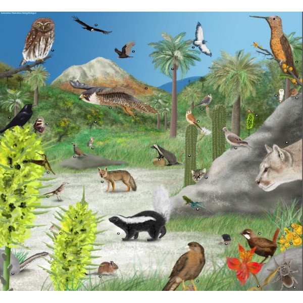
The first hiking map of National Park La Campana, in the Coastal Cordillera between Santiago and Viña del Mar. Includes Cerro La Campana (1828 m) and Cerro El Roble (2223 m). GPS compatible, with level curves every 50 m, trekking routes, access roads, campsites, etc.; Landscape pictures and a panoramic drawing of the local fauna and flora. Map developed by the Institute for Cartography at the Dresden Technical University.
Trekkingchile, 1st edition, 2016
Trekking Map, Central Chile, scale 1:30.000
Printed on Stone Paper: water and tear resistant, ecologic.
English - German - Spanish.
Titelspecificaties
| Regio | Chili |
|---|---|
| Uitgavedatum | 2022 |
| Taal | Engels |
| Uitgever | |
| Serie | |
| ISBN | 9789568925277 |
| Categorie | Wandelkaarten |
Andere categoriën in dezelfde regio


Van dezelfde regio verkrijgbaar
-
 Lonely Planet Chile & Rapa Nui (Easter Island)Goede gidsen voor trekkers. Na info over land en volk, en reisvoorbereidingen volgen beschrijvingendirect leverbaar!€28,95 > alles van Zuid-Amerika (en Antarctica)
-
 reisgids Chili | Chile |The Carretera Austral (Bradt)No nonsense gids (Engelstalig) voor de doe het zelf reiziger! Goede achtergrondinformatie, veel aandniet direct leverbaar€28,95 > alles van Zuid-Amerika (en Antarctica)
-
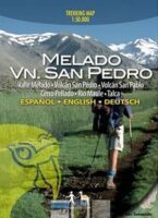 Trekking Map Melado Volcan San Pedro 1:50.000Eerste trekking kaart van het zuidelijk van de Río Maule gelegen wandel en paardrijparadijs rondomdirect leverbaar!€9,95 > alles van Zuid-Amerika (en Antarctica)
-
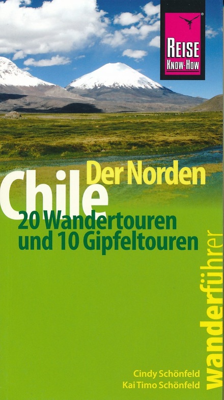 Chile (Chili) der Norden - 20 WandertourenNeben den Wanderungen auf verschiedenen Höhenlagen enthält dieser Wander- und Bergführer eine Ausniet direct leverbaar€19,50 > alles van Zuid-Amerika (en Antarctica)
-
 Trekking Map Laguna del Maule Winter Trails 1:35.000The first map ever with information on avalanche risks in South America! This ski and snowshoe map sdirect leverbaar!€9,95 > alles van Zuid-Amerika (en Antarctica)
-
 Trekking Map PuyehueThe first travel and trekking map of the National Park Puyehue in the Los Lagos region. Overview mapdirect leverbaar!€9,95 > alles van Zuid-Amerika (en Antarctica)
-
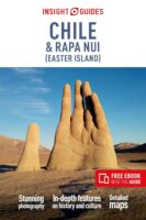 Insight Guide Chile (Chili)"Insight Guide Chile & Easter Island" is a comprehensive full-colour guide to the culture, history adirect leverbaar!€24,95 > alles van Zuid-Amerika (en Antarctica)
-
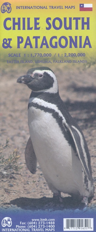 ITM Zuid-Chili en Patagonie | landkaart, autokaart 1:2.200.000 / 750.000Fraaie, relatief gedetailleerde overzichtskaart. Veel kaarten uit deze serie hebben op de achterkantniet direct leverbaar€13,95 > alles van Zuid-Amerika (en Antarctica)
-
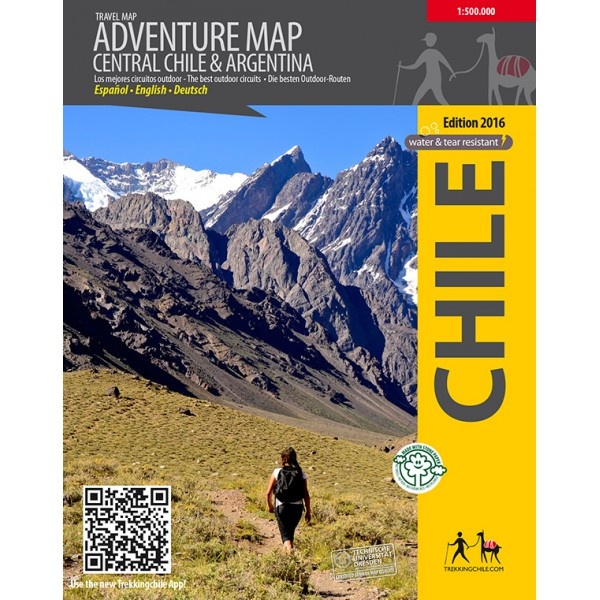 Adventure map Central Chile & Argentina 1:500.000Professioneel gemaakte kaart, met ondersteuning van de Technische Universiteit Dresden (Kartographisdirect leverbaar!€19,95 > alles van Zuid-Amerika (en Antarctica)
-
 Trekking Map Huilo HuiloCompletely updated map of the nature preserve Huilo Huilo in the Los Rios region. Overview map 1:75,direct leverbaar!€9,95 > alles van Zuid-Amerika (en Antarctica)
-
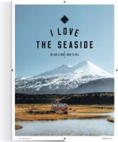 I love the seaside: ChileI Love the Seaside, dé reisgidsreeks voor surfers en iedereen die van de kust houdt, neemt je in dedirect leverbaar!€29,95 > alles van Zuid-Amerika (en Antarctica)
-
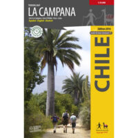 Trekking Map La Campana 1:30.000The first hiking map of National Park La Campana, in the Coastal Cordillera between Santiago and Vi�direct leverbaar!€9,95 > alles van Zuid-Amerika (en Antarctica)