
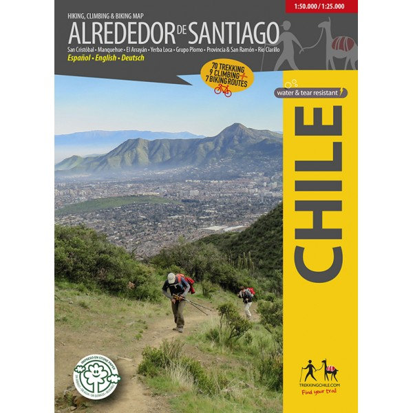
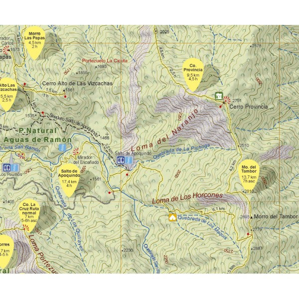
Alrededor de Santiago (Around Santiago) 1:50.000 / 1:25.000
€9,95
direct leverbaar!
- Zeer ruim assortiment
- Verzending 1-2 werkdagen
- Niet tevreden, geld terug
- Ruilen binnen 14 dagen
Titelinformatie
The first map showing 70 hiking, 9 climbing and 7 biking routes in the immediate vicinity of Santiago de Chile, including the following areas:
- Cerro San Cristóbal
- Cordón Manquehue
- El Arrayán - Pochoco
- La Dehesa
- Santuario Yerba Loca, with Cerro La Paloma (4910 m)
- Grupo Plomo: Cerro Pintor (4180 m), Cerro Leonera (4954 m), Punta Santiago (5083 m), Cerro Plomo (5424 m), Cerro Klatt (4309 m)
- Valle Olivares
- Alto del Naranjo - Cerro Ñipa - Cerro Provincia (2751 m)
- San Carlos de Apoquindo
- Parque Aguas de Ramón
- Parque Mahuida and Cantalao
- Parque Quebrada de Macul, Cerro La Cruz, Cerro San Ramón (3253 m), Punta Damas (3149)
- Parque Panul
- El Manzano - Los Azules - La Ermita
- Cajón Río Colorado - Alfalfal - Ruta del Cóndor
- Parque Nacional Río Clarillo
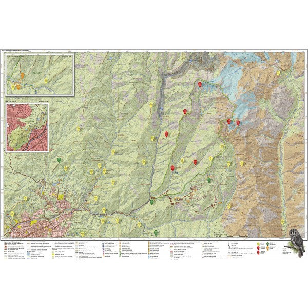
Scale 1:50.000, with two detailed maps 1:25.000 for Río Clarillo and Cerro San Cristobal.
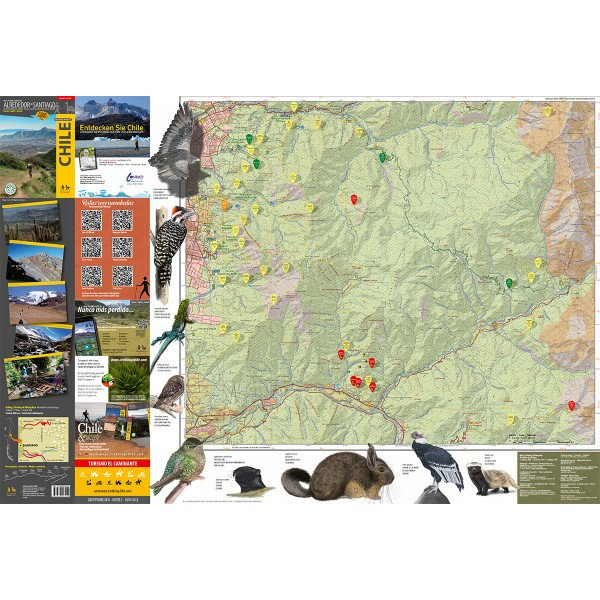
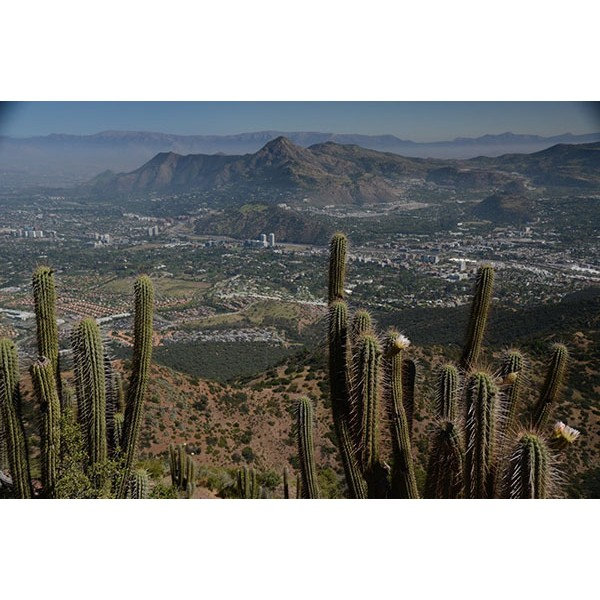
With routes (distance and time), accesses, contour lines every 50 m, GPS-compatible network, accommodations, huts, campsites, etc... Photos of the attractions and drawings of the local fauna.
Trekkingchile, 1st edition 2018
Trekking, climbing and cycling map, Central Chile, scale 1:50.000 / 1:25.000
Printed on stone paper, ecological, tear- and waterproof.
Spanish - English - German.
Titelspecificaties
| Regio | Chili |
|---|---|
| Uitgavedatum | 2018 |
| Taal | Engels |
| Uitgever | |
| Serie | |
| ISBN | 9789568925444 |
| Categorie | Wandelkaarten |
Andere categoriën in dezelfde regio


Van dezelfde regio verkrijgbaar
-
 ITM Chili | landkaart, autokaart 1:1.770.000Waterproof map of Chile published by ITM. Detailed map including the whole Tierra del Fuego. Roads adirect leverbaar!€13,95 > alles van Zuid-Amerika (en Antarctica)
-
 Trekking Map Altos de Teno 1:150.000 / 1:50.000The first map of the Andes east of San Fernando and Curicó. Overview map 1:150,000 of the area betwdirect leverbaar!€9,95 > alles van Zuid-Amerika (en Antarctica)
-
 Chile & Easter Island Eyewitness Travel GuideEngelstalige Capitoolgids. Bijzonder fraaie en complete gidsen, waarin de illustraties de kern vormedirect leverbaar!€23,90 > alles van Zuid-Amerika (en Antarctica)
-
 Chili landkaart, wegenkaart 1:1.600.000Uitstekende tweezijdig bedrukte wegenkaart / overzichtskaart. Verschenen in de serie van het 'Worlddirect leverbaar!€11,95 > alles van Zuid-Amerika (en Antarctica)
-
 Trekking Map Chile: Lonquimay-Conguillío 1:100.000/1:50.000Gedetailleerde kaart van Nationaal Park Tolhuaca en Reservaat Malalcahuello, rond de vulkanen Tolhuadirect leverbaar!€9,95 > alles van Zuid-Amerika (en Antarctica)
-
 Trekking Map La Campana 1:30.000The first hiking map of National Park La Campana, in the Coastal Cordillera between Santiago and Vi�direct leverbaar!€9,95 > alles van Zuid-Amerika (en Antarctica)
-
 Trekking Map Huilo HuiloCompletely updated map of the nature preserve Huilo Huilo in the Los Rios region. Overview map 1:75,direct leverbaar!€9,95 > alles van Zuid-Amerika (en Antarctica)
-
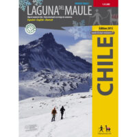 Trekking Map Laguna del Maule Winter Trails 1:35.000The first map ever with information on avalanche risks in South America! This ski and snowshoe map sdirect leverbaar!€9,95 > alles van Zuid-Amerika (en Antarctica)
-
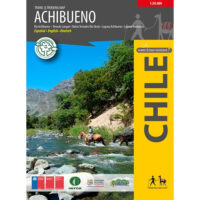 Trekking Map Achibueno 1:50.000The first map of the nature sanctuary Cajón del Achibueno near Linares, in the Maule region, showindirect leverbaar!€9,95 > alles van Zuid-Amerika (en Antarctica)
-
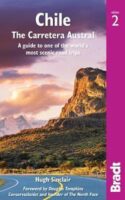 reisgids Chili | Chile |The Carretera Austral (Bradt)No nonsense gids (Engelstalig) voor de doe het zelf reiziger! Goede achtergrondinformatie, veel aandniet direct leverbaar€28,95 > alles van Zuid-Amerika (en Antarctica)
-
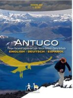 Antuco walking map | wandelkaart 1:30.000Antuco - Laguna del Laja National Park - Volcán Antuco - Sierra Velluda area at 1:30,000 in a seriedirect leverbaar!€9,95 > alles van Zuid-Amerika (en Antarctica)
-
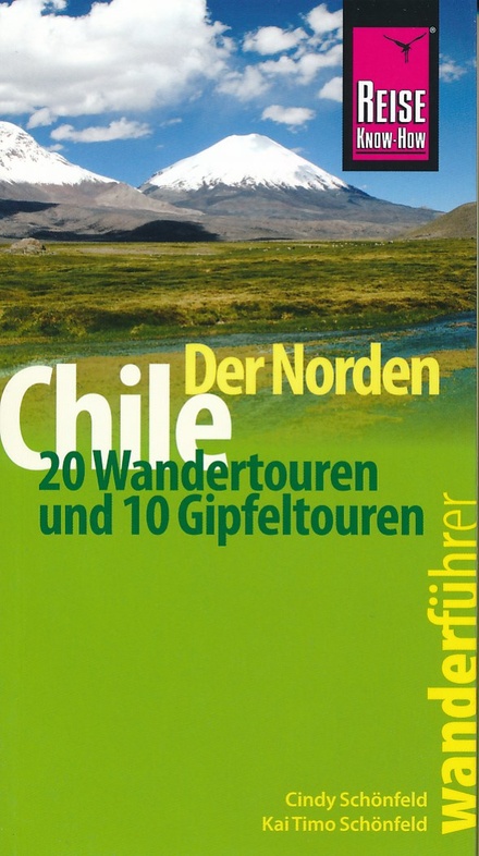 Chile (Chili) der Norden - 20 WandertourenNeben den Wanderungen auf verschiedenen Höhenlagen enthält dieser Wander- und Bergführer eine Ausniet direct leverbaar€19,50 > alles van Zuid-Amerika (en Antarctica)