
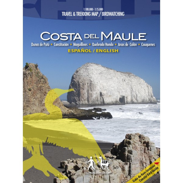
Trekking Map Costa del Maule 1:180.000 / 1:15.000
€9,95
direct leverbaar!
- Zeer ruim assortiment
- Verzending 1-2 werkdagen
- Niet tevreden, geld terug
- Ruilen binnen 14 dagen
Titelinformatie
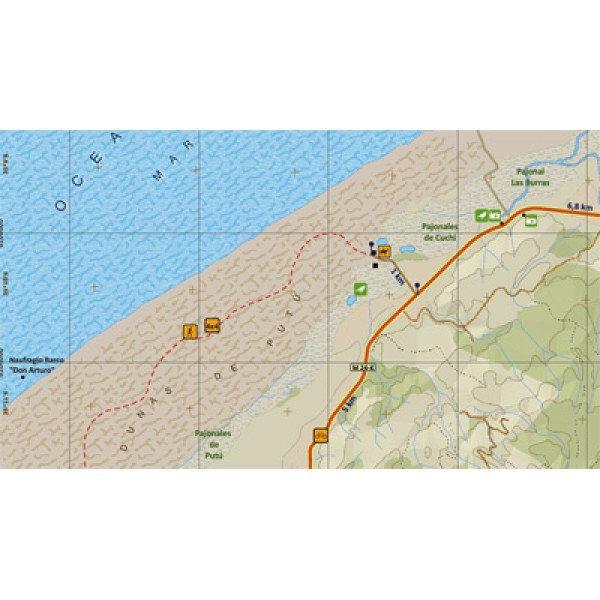
The first detailed map of the manifold Maule region's coastline, from Duao to Tregualemu. 1 overview map 1:180,000 and 3 zoom maps of Maguillines & Quebrada Honda / Dunas de Putú / Arcos de Calán, scales from 1:15.000 to 1:40.000. Level curves each 50 m, GPS compatible. With hiking routes (distances in km), offroad tracks, nature attractions and best places for birdwatching.
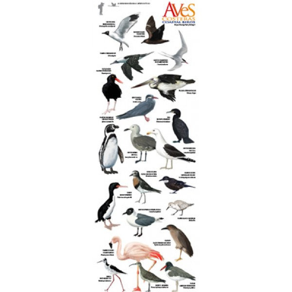
Coastal bird guide (English/Spanish) with drawings of the 21 most important species. With pictures of the most beautiful attractions.
Trekkingchile, 1st edition 2011
Trekking and Travel Map + Birdwatching, Central Chile - Maule region, scale 1:180,000 / 1:15,00
Titelspecificaties
| Regio | Chili |
|---|---|
| Uitgavedatum | 2011 |
| Taal | Engels |
| Uitgever | |
| Serie | |
| ISBN | 9789568925215 |
| Categorie | Wandelkaarten |
Andere categoriën in dezelfde regio


Van dezelfde regio verkrijgbaar
-
 Lonely Planet Chile & Rapa Nui (Easter Island)Goede gidsen voor trekkers. Na info over land en volk, en reisvoorbereidingen volgen beschrijvingendirect leverbaar!€28,95 > alles van Zuid-Amerika (en Antarctica)
-
 Chile & Easter Island Eyewitness Travel GuideEngelstalige Capitoolgids. Bijzonder fraaie en complete gidsen, waarin de illustraties de kern vormedirect leverbaar!€23,90 > alles van Zuid-Amerika (en Antarctica)
-
 Chili | autokaart, wegenkaart 1:1.200.000Met plaatsnamenregister. Heldere cartografie. Dubbelzijdig bedrukt.direct leverbaar!€15,95 > alles van Zuid-Amerika (en Antarctica)
-
 Trekking Map Chile: Lonquimay-Conguillío 1:100.000/1:50.000Gedetailleerde kaart van Nationaal Park Tolhuaca en Reservaat Malalcahuello, rond de vulkanen Tolhuadirect leverbaar!€9,95 > alles van Zuid-Amerika (en Antarctica)
-
 Chile Culture Smart!De Culture Smart serie is een reeks handzame boekjes voor zowel toeristen als andere bezoekers met ddirect leverbaar!€12,90 > alles van Zuid-Amerika (en Antarctica)
-
 Insight Guide Chile (Chili)"Insight Guide Chile & Easter Island" is a comprehensive full-colour guide to the culture, history adirect leverbaar!€24,95 > alles van Zuid-Amerika (en Antarctica)
-
 ITM Easter Island (Paaseiland), Santiago | landkaart, autokaart 1:30.000Fraaie, relatief gedetailleerde overzichtskaart. Veel kaarten uit deze serie hebben op de achterkantdirect leverbaar!€13,95 > alles van Zuid-Amerika (en Antarctica)
-
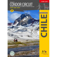 Trekking Map Condor Circuit 1:50 000 / 1:25.000Completely revised map of the naturally beautiful and pristine territory between the natural preservdirect leverbaar!€9,95 > alles van Zuid-Amerika (en Antarctica)
-
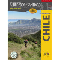 Alrededor de Santiago (Around Santiago) 1:50.000 / 1:25.000The first map showing 70 hiking, 9 climbing and 7 biking routes in the immediate vicinity of Santiagdirect leverbaar!€9,95 > alles van Zuid-Amerika (en Antarctica)
-
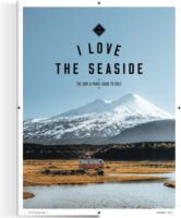 I love the seaside: ChileI Love the Seaside, dé reisgidsreeks voor surfers en iedereen die van de kust houdt, neemt je in dedirect leverbaar!€29,95 > alles van Zuid-Amerika (en Antarctica)
-
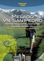 Trekking Map Melado Volcan San Pedro 1:50.000Eerste trekking kaart van het zuidelijk van de Río Maule gelegen wandel en paardrijparadijs rondomdirect leverbaar!€9,95 > alles van Zuid-Amerika (en Antarctica)
-
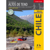 Trekking Map Altos de Teno 1:150.000 / 1:50.000The first map of the Andes east of San Fernando and Curicó. Overview map 1:150,000 of the area betwdirect leverbaar!€9,95 > alles van Zuid-Amerika (en Antarctica)